Harper Beck · 24 September 2026
Trail Networks Inspire Fresh Approaches to Outdoor Learning in Regional Schools
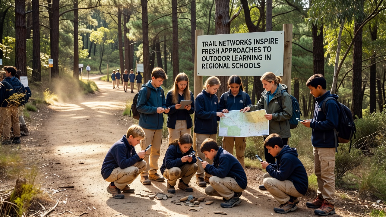
Regional schools have started integrating established trail networks into daily curricula, creating structured programs that combine classroom lessons with direct field experiences along local paths and ridges, adn this shift draws from longstanding trail systems that connect communities across varied terrain in areas such as the Onyx Ridge region.
Data from multiple education agencies show increased participation rates in outdoor modules since trail access expanded, with schools reporting higher engagement in science and geography units when lessons move from indoor settings to these connected pathways. Trail networks provide measurable opportunities for repeated visits, allowing students to track seasonal changes, collect samples, and map ecological shifts over time without requiring distant travel.
Development of Trail Infrastructure Supporting Education
Trail construction in regional zones has accelerated through partnerships between land management groups and local districts, resulting in maintained routes equipped with signage that highlights geological features, native plant zones, and wildlife corridors. These developments coincide with curriculum updates that emphasize experiential learning, where students follow predefined loops to observe soil composition, measure water flow in adjacent streams, and document biodiversity indicators during scheduled sessions.
Researchers at institutions across North America have documented how such infrastructure reduces logistical barriers for schools, since proximity allows classes to allocate more time to observation rather than transportation, and records from the U.S. Bureau of Land Management indicate that maintained trails near populated areas see steady use by educational groups throughout the academic year.
Implementation Strategies in School Programs
Teachers coordinate with trail stewards to align visits with specific learning objectives, incorporating activities such as transect surveys for plant identification, GPS mapping exercises, and water quality testing at fixed points along the routes. Schedules often include weekly segments where students rotate through stations focused on different disciplines, building cumulative knowledge as they revisit the same segments across semesters.
Programs in several districts have incorporated digital tools that let students upload observations from trail visits into shared databases, enabling comparison of data collected in September 2026 with earlier records to identify trends in temperature variations and species presence. This approach connects directly to standards in environmental science while giving students repeated exposure to the same ecosystems under changing conditions.
Observed Outcomes from Regional Initiatives
Studies conducted by academic teams have tracked improvements in student retention of concepts related to ecology and earth science when instruction incorporates trail-based components, with figures showing gains in assessment scores compared to control groups limited to classroom instruction alone. Physical activity levels rise during these sessions as students move between points, and reports note corresponding benefits in attention spans during follow-up indoor discussions.
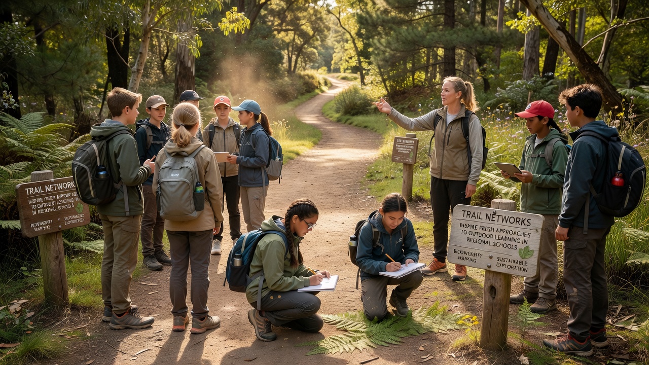
One district near established ridge trails launched a multi-year project in which middle school classes monitor lichen growth and soil erosion at marked sites, producing datasets that contribute to broader regional monitoring efforts. Observers note that repeated exposure through trail networks helps students develop systematic observation habits, since they return to the same locations rather than experiencing one-off field trips.
Integration with Broader Curriculum Goals
Outdoor segments on trail networks complement subjects beyond science, including history units that examine how paths served earlier settlements and mathematics lessons that apply measurement techniques to trail gradients and distances. Language arts classes sometimes use the same locations for descriptive writing assignments, drawing on sensory details gathered during walks.
Coordination between schools and conservation organizations ensures that activities follow established guidelines for minimal impact, with students learning site-specific protocols before each visit. Data compiled by groups such as the Canadian Institute for Environmental Education and Training reveal similar patterns in other regions where trail access has expanded, showing consistent patterns of increased student involvement across varied geographic settings.
Planning for Expanded Access in 2026
Regional planners have scheduled additional trail linkages to open by September 2026, extending routes that currently serve a limited number of schools and creating new connections between existing segments. These extensions aim to accommodate growing enrollment in outdoor programs while maintaining capacity for scientific monitoring stations at key junctions.
Funding streams from federal and state sources support both infrastructure upgrades and teacher training modules focused on trail-based instruction, ensuring that new pathways include features such as accessible entry points and interpretive markers tailored to educational use. Ongoing evaluations track usage patterns to adjust maintenance schedules and program structures accordingly.
Conclusion
Trail networks continue to serve as practical extensions of classroom resources in regional school systems, providing consistent access to natural settings that support multiple subject areas through repeated, structured visits. Records from participating districts demonstrate sustained application of these pathways for data collection and skill development, while planned expansions scheduled around September 2026 indicate continued investment in this model. Connections between educational outcomes and trail infrastructure remain documented through agency reports and academic reviews that span multiple regions.