Mia Lange · 22 October 2026
Community-Led Mapping Efforts Uncover Settlement Clues in Elevated Zones
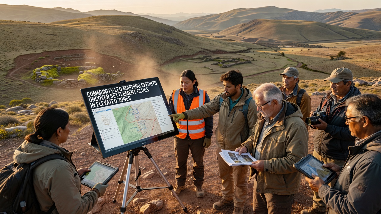
Local residents and volunteers across multiple highland regions have turned to collaborative mapping projects that combine traditional knowledge with digital tools, and these efforts continue to reveal traces of past human activity in areas once considered too remote for sustained occupation. Teams equipped with GPS units, open-source software platforms, and drone imagery work alongside archaeologists to record subtle landscape modifications such as terraced slopes, stone alignments, and artifact scatters that point to earlier settlement patterns at elevations above 2,500 meters.
Methods That Combine Local Knowledge and Technology
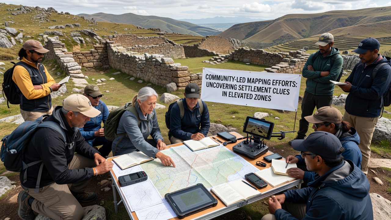
Participants often begin by interviewing elders who recall seasonal migration routes or old field boundaries, then they overlay those accounts onto satellite data and topographic models to identify target zones for ground surveys. Researchers from institutions in Canada and Australia have documented similar workflows where community input narrows the search area before expensive equipment is deployed, which reduces costs and increases the precision of recorded features. In practice, volunteers walk transects with tablet computers that log coordinates in real time while noting vegetation changes or soil discolorations that frequently mark buried structures.
Recent Discoveries Across Highland Regions
One project in the Andes foothills located a network of raised fields and irrigation channels dating to pre-colonial periods, and the same group later identified a cluster of circular stone foundations at 3,100 meters that had escaped earlier professional surveys. Data collected in October 2026 from parallel efforts in the European Alps showed comparable results, with community mappers flagging linear rock piles consistent with ancient boundary markers on slopes previously mapped only at low resolution. These findings expand the known geographic range of high-elevation habitation and supply new samples for radiocarbon dating and pollen analysis.
Geographic Spread and Supporting Data
Mapping initiatives now operate in at least six countries, and statistics released by the National Park Service indicate that volunteer-contributed records account for roughly 18 percent of newly registered sites in mountainous units during the past three field seasons. Australian heritage agencies report parallel growth in community-submitted datasets from the Snowy Mountains, where lidar-derived elevation models helped volunteers distinguish natural rockfalls from deliberate wall segments. The combined datasets allow researchers to test hypotheses about climate-driven movement into higher altitudes during warmer intervals, and preliminary models suggest settlement density increased when average temperatures rose above a threshold that extended the growing season.
Training Programs and Data Standards
Workshops organized by regional universities teach consistent recording protocols so that entries from different groups remain compatible when merged into central databases. Participants learn to distinguish cultural features from natural formations using standardized attribute fields, and they practice uploading observations through platforms that automatically flag duplicate records. This approach has produced datasets that government agencies and academic teams can query without extensive cleaning, and it has accelerated publication of site inventories that previously lagged years behind fieldwork.
Challenges in Elevated Terrain
Weather windows limit fieldwork to brief periods each year, while steep gradients increase both physical demands and equipment failure rates. Yet groups mitigate these constraints by scheduling sessions around stable forecast periods and by maintaining shared equipment pools that rotate batteries and repair parts among multiple projects. Access restrictions on certain peaks require advance permits, and teams coordinate with land managers to ensure that mapping activities do not disturb sensitive ecological zones or conflict with wildlife protection schedules.
Integration With Broader Research Agendas
Findings from community mapping feed into larger studies of human adaptation to altitude, including analyses of diet, mobility, and resource extraction that draw on both artifact assemblages and environmental proxies. Universities in Norway and New Zealand have incorporated such records into comparative projects that examine how different mountain societies responded to similar climatic shifts, and the resulting papers highlight parallels in agricultural terrace construction across hemispheres. Public repositories now host the raw coordinate files alongside derived maps, allowing independent analysts to test alternative interpretations of settlement distribution.
Conclusion
Community-led mapping has shifted from supplementary activity to a recognized source of primary data on high-elevation settlement history. Coordinated use of local observations, digital recording tools, and open data standards continues to expand the inventory of documented sites while maintaining compatibility with professional research frameworks. Ongoing projects scheduled through late 2026 and beyond are expected to add further layers of spatial and chronological detail as more groups adopt the same integrated methods.